

Mapping and Surveying
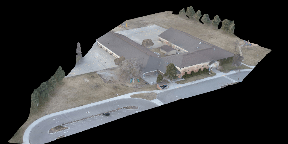
Mapping Project of a Local School
We were asked to demonstrate the power of drones and how they are being used today. Pictured are an orthomosaic map and a Normalized Difference Vegetation Index (NDVI) of a local elementary school. The area mapped was approx. 5 acres and produced an amazing 1 cm/pixel resolution (Google Maps can be as high as 6ft/pixel)! Also pictured is an elevation map, showing higher points as red colors and low spots as blue.

Droneography
Aerial Imaging
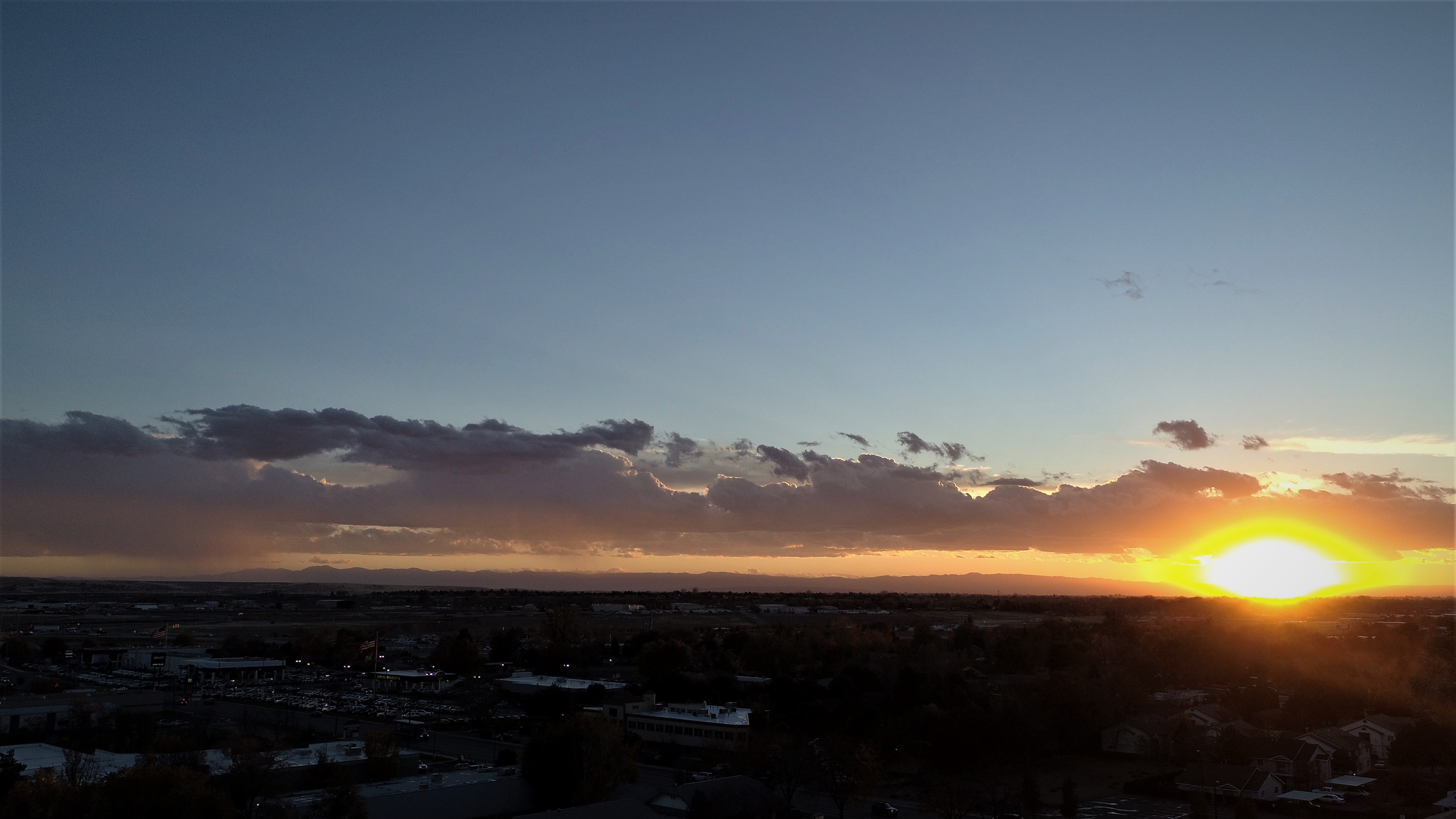
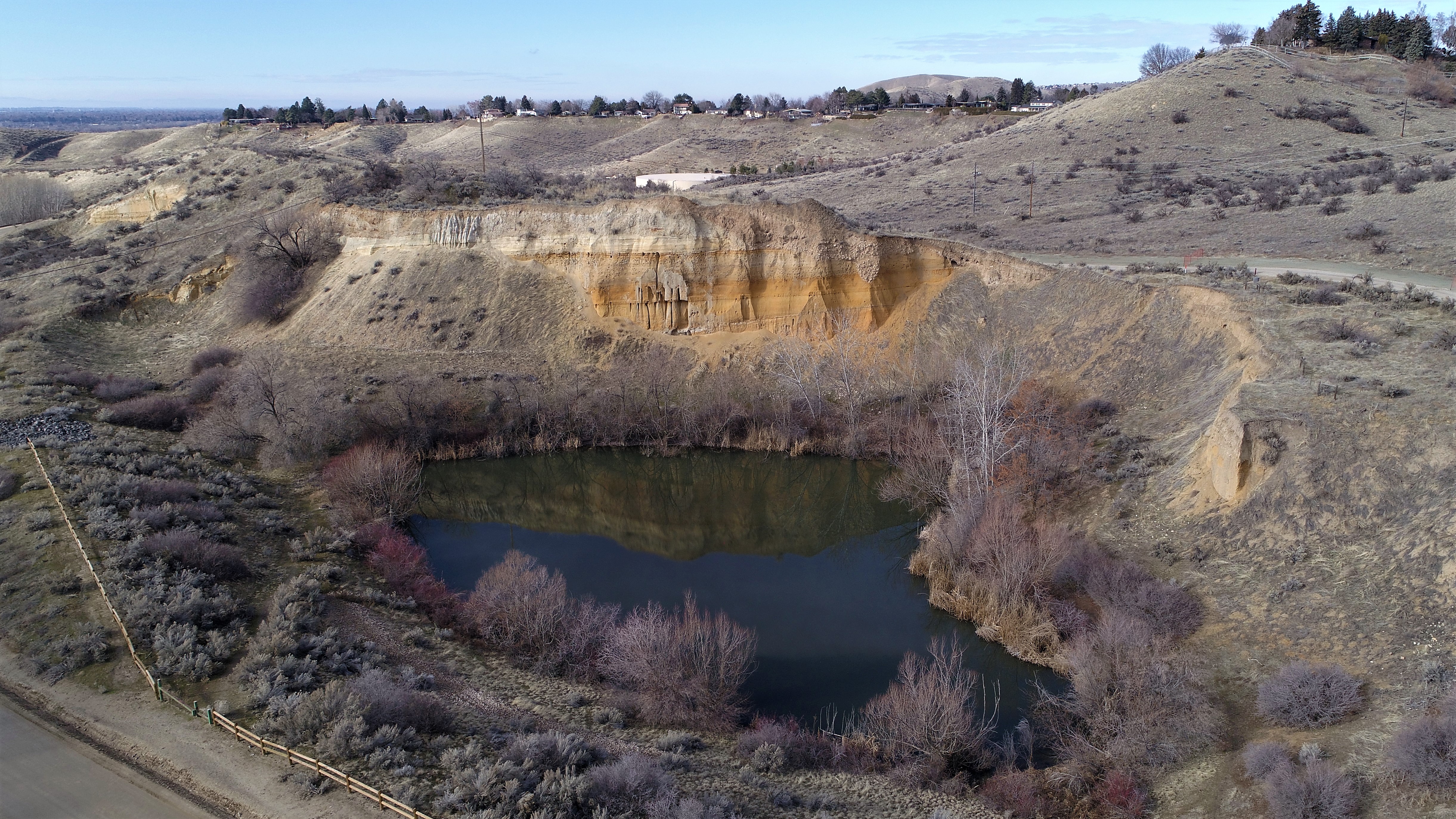
Some of our favorites. The Boise foothills are a great place to find peace and get some unique photos.
The Spirit of Boise Night Glow quite a sight, especially when viewed from 400ft!