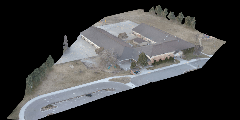
Using drones its possible to map and survey a large site in only a couple of hours. Conventional methods can take days even weeks to compile the necessary data. Drone photogrammetry is changing the mapping and surveying industry.
Our mapping service a must have for anyone wanting current, accurate maps. Achieving a maximum resolution of .4 cm/pixel, our maps can help you identify and highlight almost any imperfection or area of concern.
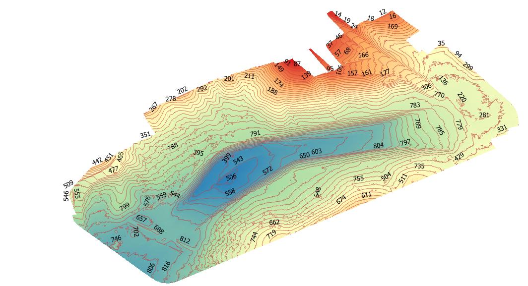
Drone photogrammetry is an immensely useful and powerful tool for construction projects. Having a current map of your site can eliminate confusion and misdirection. Volumetric measurements allow you to measure the distance between points. Area measurements will tell you the square footage of an area. Volume measurements can reveal how much fill in in a pile, or how much fill will be needed to bring the area up to grade. Going even further, we can produce elevation and contour maps. We can also produce 3D digital models of your project.


